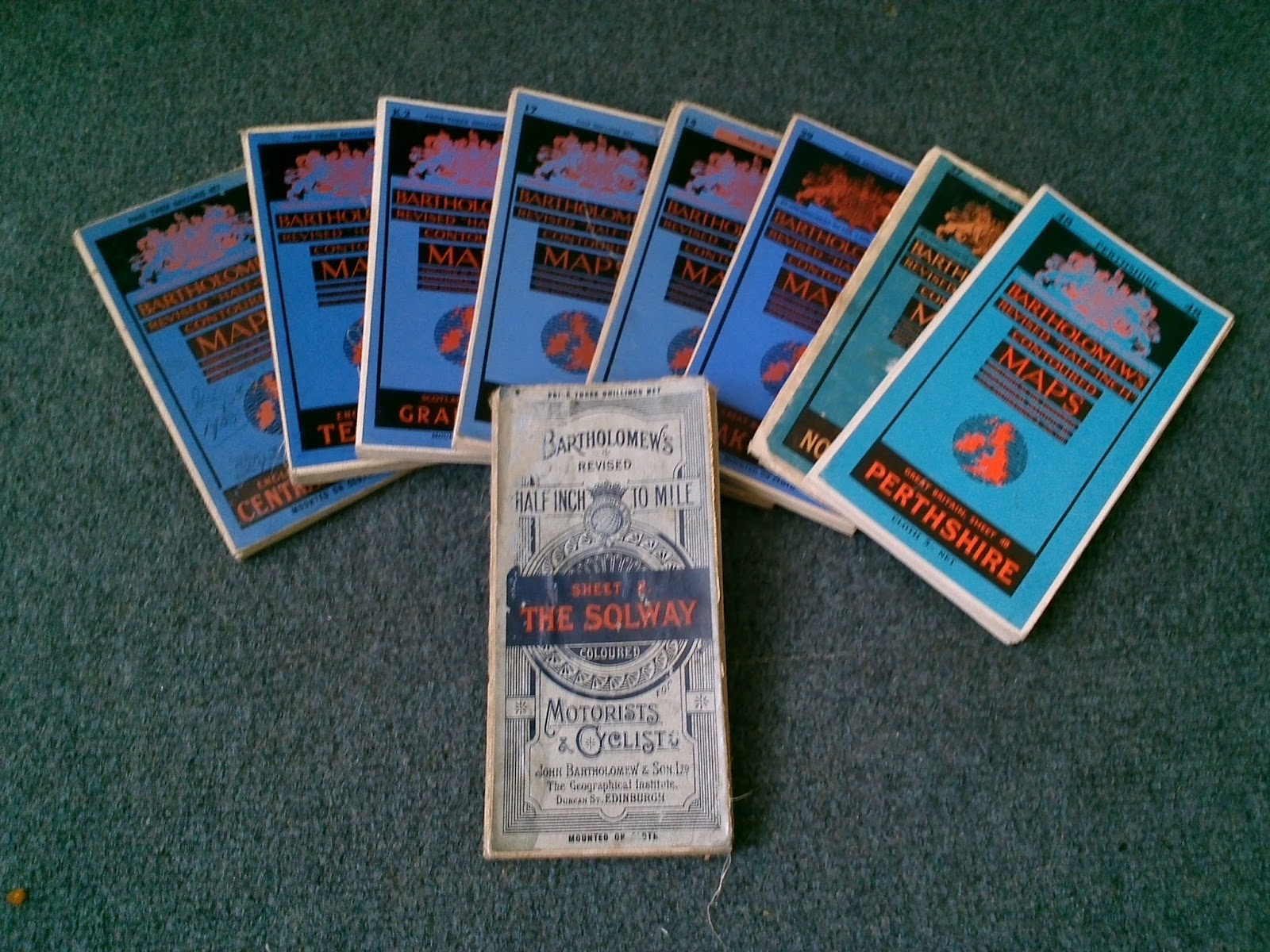
Taking a look at the maps in my cupboard.....

Next in the series of maps from the cupboard are these Ordnance survey maps dating from 1921 to 1940.
From the 1920s onwards the popularity of the motor car and outdoor activities such as walking and cycling encouraged the Ordnance survey to embark on introducing more visually appealing and more practical maps for the general public. The fact that Bartholemews were also taking the lions share of map sales at that time may have also helped that along.
Some of the most iconic looking map covers would be produced during this time period. All map series of this period would have its own new woodcut style design.
The OS would also commission their first official artist to create some stunning watercolour paintings which would go on to adorn later series.
Today the watercolour fronted maps tend to command a higher price on the collectors market. The rarest and most interesting map of this period would be a limited edition Eclipse map which charted the position of the solar eclipse over the UK during the 12th of June 1927. This map was only really valid for one day of course!.
Ordnance Survey Tourist map - 1 inch to 1 mile scale - 1924

First up is this early tourist map of the lake district mounted in sections on cloth. This happens to be the oldest watercolour fronted map in the collection at present. Considering it is a 1924 reprint it is in remarkably good condition.

This map is 1 of 5500 produced in 1924
Dating OS maps from this time period
It seems a good time to mention the date markings on these old maps and how to interpret them.The photo above is a prime example of how the OS were actively providing the user with useful revision/production dates on their maps - something which wasn't always as clear or forthcoming in later maps.
At the very bottom of the right hand margin was not only be the original map production date and revision dates but also the amount of maps produced that year.
Using the photo above as an example it is easy to see that the last year of revisions was 1924 with a total of 5500 maps made.
Handy information if you wanted to know how many they made.
Ordnance Survey Road map first edition half inch to 1 mile - 1930

No fancy watercolour cover this time but the ornate woodcut style I mentioned earlier. This style of cover dates back to around 1914 but continued for some years.
The map is mounted on cloth and in very good condition considering it's age.

1 of 3500 produced in 1930
Once again its thanks to the OS cartographers of this time that the date of first production and subsequent revisions are printed. The above photo shows that this map was limited in production to 3500 back in 1930.
Another added bit of information is the name of the main man in charge of publishing the works. As the ordnance survey was always keen on the accuracy of their maps they would appoint the top brass from the military to head up the mapping teams ensuring strict quality control at all times.
Ordnance Survey 1/4 inch to 1 mile third edition - 1933/1934

Coming along next are these three examples from the quarter inch to 1 mile scale maps (third series) produced in the early part of the 1930s.
Once again a range of maps produced in the new era of illustrated covers designed to grab a share of the new leisure motorist market.
Although not quite as fanciful as others of that time they still have a certain style about them. These three maps are all mounted on cloth and are in reasonably good condition.

Example of quarter inch third edition
The front cover depicts a motorcyclist parked up by a road sign reading his quarter inch road map -wearing iconic crash helmet and goggles. Very 1930s very stylish.

1 of 2000 maps produced in 1933
And in the footnotes we find plenty of information once again. This time the much distinguished Colonel E.M. Jack taking full responsibility as director general (above photo). Funny how no one is willing to put their name on maps these days!
According to the notes this map is limited to 2000 produced in 1933.
These little extra bits of information really adds to the map in my opinion.

Example of map colours
Although the quality of the above photo is pretty awful it does give a rough idea as to how deep the colours are on these maps from series three. Plenty of burnt oranges and browns with a few splashes of blue and green here and there. In practical terms this map would probably be a nightmare to navigate. It is quite hard to work out what's going on in places but it looks pretty nice all the same. Much better as a wall mounted display piece to be honest.
Ordnance Survey "One Inch" map fifth edition - 1939

This nice looking blue number is the 1 inch map from series five that superseded the immensely popular "Popular" series from the 1920s (which is incidentally, featured later).
Once again another woodcut style cover illustration depicting a rambler or outdoorsman.
In terms of condition this map is in good shape. Again partly down to the fact that it is mounted on cloth and not just paper alone.

Ordnance Survey 1 inch to 1 mile Popular Edition (fourth edition) - 1929/1930

Lastly is the 1 inch to 1 mile 'Popular series' which started to appeared in the 1920s. Featuring a 'woodcut' style illustration of a bloke with a map sat on a hill side. There were many versions of the popular series over time with various changes to the front cover.

Although not as valuable as some of the watercolour series these maps are still worth collecting. They can be bought relatively cheaply at the moment with good quality examples being sold for as little £5. As with all of these early maps they were made in relatively small numbers so as time goes by the value may increase. The map in the photo above was 1 of 5000 produced in 1929.

The above photo shows the revision dates and the numbers produced in that revision. It also shows the name of the director general of the OS at the time - in this case Colonel Charles Close who was reknown for combining the original ideas of the OS with new ideas at the time. Many of the maps published under his watch are perhaps some of the most valuable today on the collectors market.

The above photo is an example of the uncluttered appearance of the popular series maps.
The area covered is Portsmouth on the south coast of England.